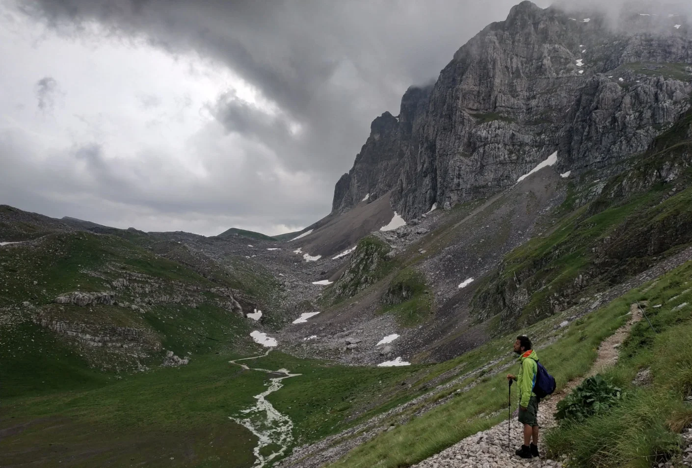
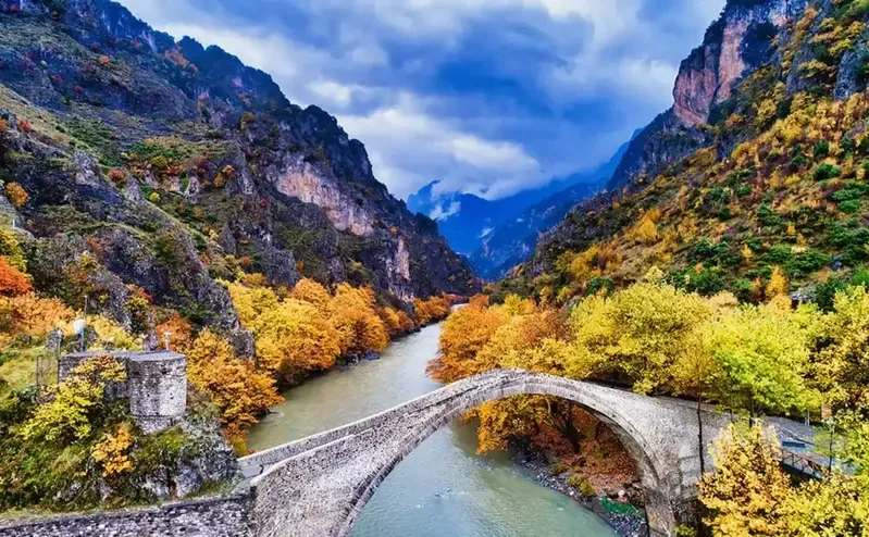
In Zagori, a stone bridge was never just a beautiful object. Together with the old cobbled paths, it formed a practical network that connected villages, fields, mills and markets across a demanding mountain landscape.
Walking between these bridges today reveals more than remarkable masonry. It shows how communities adapted to rivers, gorges and long winters—and how travel once unfolded at the pace of people and pack animals.
A landscape connected by stone
Before modern roads, Zagori’s villages depended on paths that crossed steep slopes, streams and rivers—most notably the Voidomatis, which later joins the Aoos near Konitsa. Bridges made everyday movement possible: visiting neighbouring villages, reaching pastures and watermills, transporting goods and maintaining family and commercial ties.
Many of the bridges visible today date from the eighteenth and nineteenth centuries. Their construction was often financed by local benefactors, merchants or entire communities, and some bridges still carry the name of the person who paid for or rebuilt them. The wider cultural landscape of Zagori—including its villages, paths, stairways and bridges—was inscribed on the UNESCO World Heritage List in 2023.
How an arch carries a journey
The builders, commonly known as mastoroi, belonged to travelling guilds with highly specialised knowledge of stone. A wooden framework temporarily supported the arch while carefully shaped stones were placed around it. Once the keystone and masonry were secure, the framework could be removed and the curved structure transferred weight towards its foundations.
Local limestone helped the bridges settle visually into the landscape, but their form was never merely decorative. A narrow channel might need one high arch; a broader riverbed could require two or three. Builders responded to rock, water and flood behaviour, creating structures that feel inseparable from their setting.
Look at a Zagori bridge together with the path on either side: one makes sense because of the other.
Bridges worth knowing
Plakidas or Kalogeriko
Near Kipi, its three graceful arches make it one of Zagori’s most recognisable bridges. Its earlier name recalls a monastery; its later name honours the Plakidas family, who supported its restoration.
Kokkoris or Noutsos
A dramatic single arch set between rock walls on the route between Kipi, Koukouli and Dilofo. The narrow setting makes the relationship between masonry and landscape especially clear.
Kontodimos or Lazaridis
Close to Kipi and Koukouli, this elegant bridge is easily combined with nearby paths and other crossings on a short walking circuit.
Mylos Bridge
Its name means “bridge of the mill”. Near Kipi, it recalls the water-powered activity that once formed part of the area’s everyday economy.
Misios Bridge
Reached along old paths near Vitsa and Koukouli, it stands close to the entrance of the Vikos Gorge and rewards visitors who approach on foot.
Konitsa Bridge
Outside Zagori proper but central to the wider bridge story of Epirus, this imposing nineteenth-century single arch spans the Aoos beneath Konitsa.
Two circular walks among the bridges
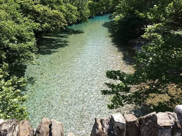
The central Zagori villages offer the rare pleasure of walking from bridge to bridge instead of treating each one as an isolated roadside stop. These are route ideas, not turn-by-turn navigation: markings, river conditions and path surfaces can change, so carry a current map and confirm conditions locally.
Koukouli, the bridges and Kipi
A documented circuit from the Zagori Ecomuseum links Koukouli with Kokkoris Bridge, Captain Arkoudas Bridge, Plakidas Bridge, Mylos Bridge, Kipi, the Vikaki area, Kontodimos Bridge and the Koukouli Steps before returning to the village.
It is a compact introduction to the historic network, combining several bridge forms with stone paths and village architecture. See the Ecomuseum’s current route description before setting out.
Kipi, Dilofo, Vitsa and Koukouli
A longer central Zagori circuit joins four stone villages and a succession of historic bridges. Route variants exist, but the pleasure is consistent: the bridges become pauses within a continuous cultural landscape rather than a checklist of monuments.
This is the better choice when you want the villages, old footpaths and crossings to form one complete walking day. Allow extra time for photographs and unhurried stops.
When to walk
Spring brings flowing water, fresh vegetation and comfortable walking temperatures. Early summer offers long days, although exposed paths can become hot. Autumn is particularly atmospheric as the forests change colour. In winter and after heavy rain, ice, wet stone and higher water levels may make otherwise simple sections more demanding.
A living landscape, not an open-air museum
The bridges survive because the surrounding communities continue to value them. Responsible visits help keep that relationship intact: stay on established paths, take litter away, avoid moving stones, respect livestock and private land, and support village guesthouses, cafés and local guides.
Why the bridges still matter
The stone bridges of Epirus are records of cooperation. They tell us where people needed to go, what communities were willing to build together and how skilled craftspeople worked with the landscape rather than trying to overpower it.
At Vrontalida, we see bridges and paths as parts of the same story. This is also the idea behind our work to revive old footpaths in Amarantos: a route becomes meaningful when it reconnects people with memory, landscape and local life.
Frequently asked questions
Where can I see several stone bridges close together?
The area around Kipi and Koukouli in central Zagori has one of the most accessible concentrations, with old paths connecting Plakidas, Kokkoris, Kontodimos, Mylos and other bridges.
Is there a circular bridge walk in Zagori?
Yes. A documented 4.9 km loop connects Koukouli, several bridges and Kipi. A longer Kipi–Dilofo–Vitsa–Koukouli circuit creates a fuller village-and-bridge walking day.
Can I visit the bridges without a guide?
Some bridges are close to roads and straightforward to reach. For linked walking routes, use a current map and verify conditions. A local guide adds navigation support and the human stories that are easy to miss.
Are the routes suitable for families?
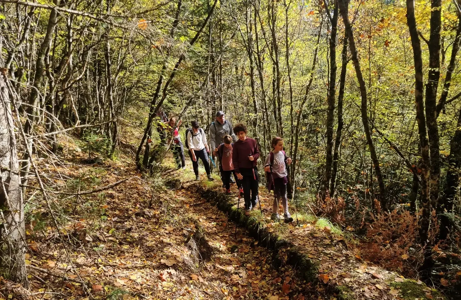
Yes. The shorter routes are generally easy family hikes, without technical sections or particular difficulties. As with any natural trail, families should still choose a route suitable for the children’s ages, wear good footwear and check the weather beforehand.
Experience the bridges as part of a living journey.
Combine Zagori’s old paths with villages, local stories and the mountain landscapes of Epirus.
Explore hiking trips in Greece or ask us about a tailor-made journey.